
LakeStats Compass
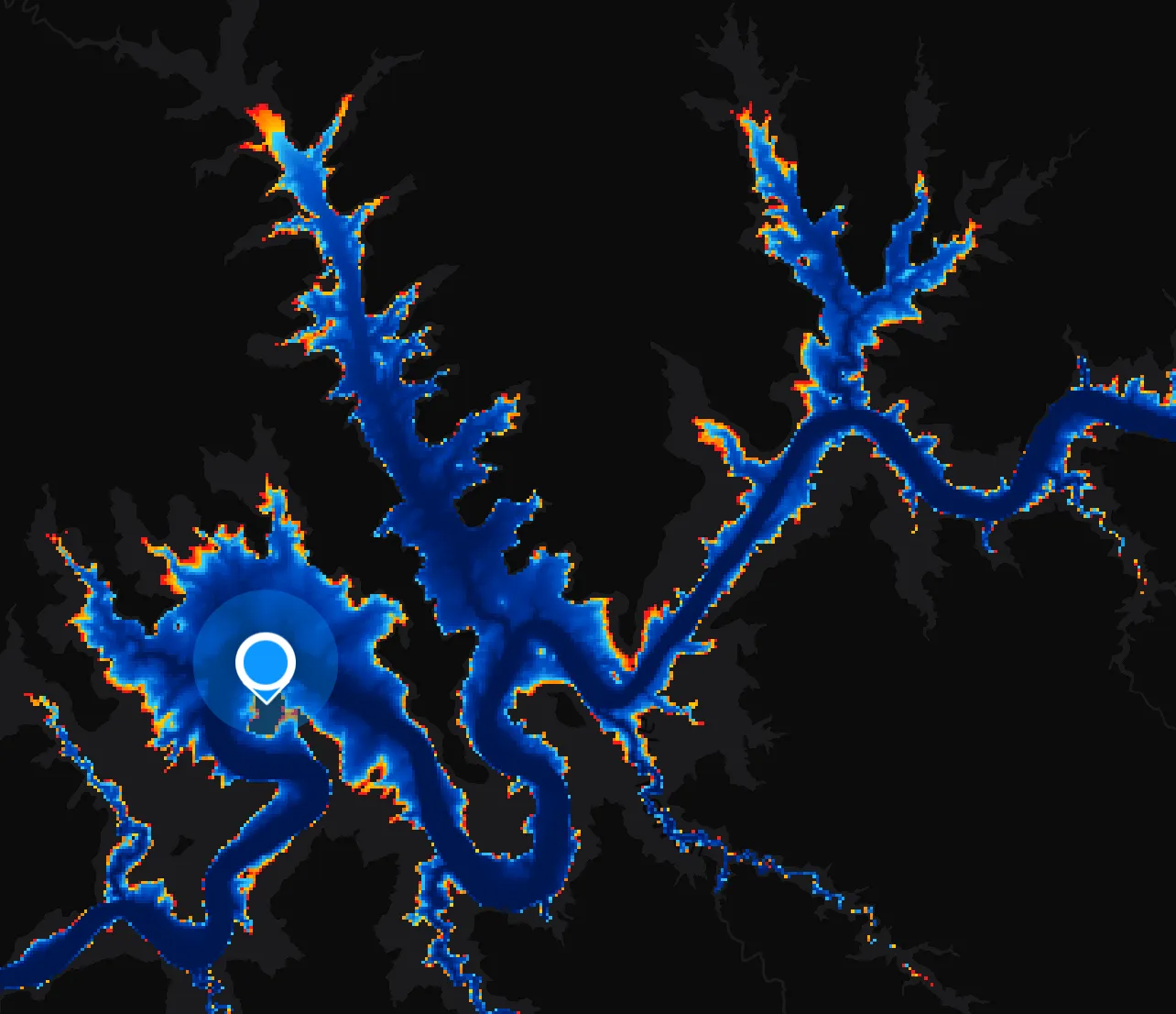
Every lake drops and fills. Compass redraws the bottom against the water that’s actually there today — so the shallows you see are the shallows you’ll hit.
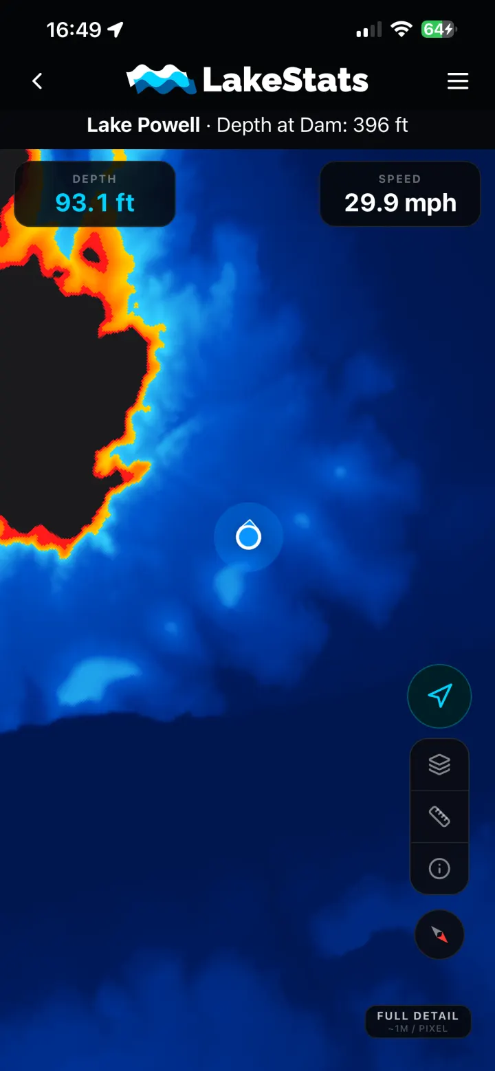
No contour lines to count, no 3D scene to orbit. One colour ramp you can read in the half-second you can spare while you’re driving.
On the water
GPS and heading straight from the phone. Follow mode keeps you centred and turns the map with you; snap back to north whenever you want your bearings.
Not just under the boat. Touch a spot ahead of you and read the depth there before you commit to it.
No signal, no problem
Canyons eat cell service. Compass keeps the whole map on your phone — the depth tiles, the markers, the basemap — so it works the same twenty miles from a tower as it does in the parking lot.
Everything above is free. LakeStats Pro turns the same map into an instrument panel and layers on what other boaters know about the lake.
The depth beneath you, updating as you move — a running readout rather than something you have to reach over and tap for.
Your speed over ground, live on the map, without a second device on the dash.
Submerged rocks, debris and low-water surprises, flagged by the boaters who found them and dated so you know how fresh it is. Add your own from the water — it sends when you're back in range.
Beaches, coves, marinas, canyons and campsites — searchable, filterable by type, and a list we're adding to every month.
Where the markers are now. They move, and a chart printed last season doesn't know that.
Where it works
Every lake needs its own bathymetry before it can have a depth map, so the list grows a lake at a time.
Common questions
That’s the point of it. The app downloads a lake’s map before you launch, so it keeps working in a canyon, twenty miles from a tower, with your phone in airplane mode.
The lakebed comes from depth surveys and the water level from the Bureau of Reclamation, so what you see is survey depth measured against today’s surface. Sediment shifts, surveys age, and the shallow edges are always the least certain part. Treat it as a very good guide, not a guarantee — keep your eyes up.
Your call. Download a slice of a lake or the whole thing, at standard or high detail — bigger lakes and finer detail cost more space, and you can delete a lake’s tiles whenever you want the room back.
No. The depth map is free with an account. LakeStats Pro adds the live instruments and everything marked on the water — $39.99 a year.
Compass is in the LakeStats app, free with an account.